
 One thing has caught my attention while out exploring Bromsgrove (in northeast Worcestershire) on foot: how few public houses (or pubs as they are more commonly known) there are in the town. My walks cover an area within a 1½ to 2 mile radius from home, encompassing the town center and immediate surrounding area.
If one was to visit every pub within this area of Bromsgrove (each marked with a green beer mug on the map), and drank a half pint of beer in each, it would be quite an achievement to become inebriated, or as the colloquial saying goes, ‘one over the eight‘. There are just 13 pubs within easy walking distance of home, and the majority lie on the Birmingham-Worcester Roads close to the town center.
There were a few more pubs in the past, but that does not explain the low number (much less than half) compared to Congleton in east Cheshire (where I was born in 1948) and Leek in North Staffordshire, where my family moved in 1956. These towns have many more pubs than Bromsgrove, with around 30+ and between 50 and 60, respectively. When I was growing up in Leek and living in the Market Place in the 1960s, there were at least a dozen pubs within just a couple of hundred meters from home.
Why can’t I provide accurate pub counts? Well, based on the information I’ve received, it depends on what is classified as a pub, and the area taken into account. For the purposes of this post, I’m considering only Bromsgrove pubs in a ‘traditional’ sense, i.e., a premises (often owned by a brewery) where one can walk in and order a glass of beer at the bar. And they often have an interesting or quirky name, such The Red Lion, The Duke of York, or Dog & Pheasant, for example.
Many pubs have become eating places as well and, for some, the sale of beer and other beverages is almost secondary now to the catering side of the business. I have not considered wine bars and the like as ‘pubs’. We have a few of these in Bromsgrove.
Congleton, Leek, and Bromsgrove are old market towns, and have a comparable population: 26,500 for Congleton; 20,800 for Leek, and 29,000 for Bromsgrove (census data from 2011 and 2001). However, if the wider Bromsgrove/Catshill urban area is taken into consideration (that I always think of as ‘Bromsgrove’) then its population is almost 40,000.
Tracing the drinking history of any town can be interesting, but not without its pitfalls. It has been achieved successfully, however, by Leek local historian, Neil Collingwood, who recently published a book about the town’s pubs. Leek apparently has boasted 150 pubs over the centuries!

As far as Bromsgrove is concerned, I have marked (in the map below) all the pubs I come across during my walks (within that 1½-2 mile radius) with a green beer mug symbol; except for my local, The Red Lion which has a red beer mug. Those outside my normal routes, or too far on foot, are shown in purple. Black beer mugs indicate pubs that have closed. Just expand the map to see more detail.
There is at least one image for each pub; just click on the beer mug symbol. Many of these images I have taken myself, but others were captured (under fair use) from Google Maps Streetview, and acknowledged thus.
It’s interesting to note, but not surprising, that many of the pubs follow the route of the main highway south from Birmingham through Bromsgrove to Worcester. This is/was the A38 Birmingham Road/Worcester Road that bisects the town into two almost equal west and east sides. And I guess some of the hostelries must have catered to coaches and their passengers before the railway came to Bromsgrove in June 1840, east of the town. The Ladybird (formerly The Dragoon) was built at Aston Fields in 1905 to serve the railway. It’s close to the site of the old station. In 2016, the new station opened a few hundred meters south.

The Ladybird at Aston Fields. The access road to the rail station (New Road) is on the right.
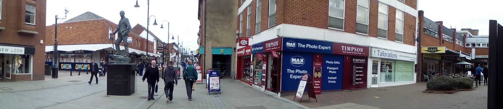
New Road/Kidderminster Road bisect the town almost equally north and south, and meet the A38 in the town center at the High Street, now closed permanently to traffic (but was still open when we moved to Bromsgrove in 1981). The A38 was also diverted around the town along the Bromsgrove Eastern By-Pass (A38) around the same year.
The Red Lion on Bromsgrove High Street, right in the center of town, is a 10 minute walk or so from home. It serves great beer, and always has several ‘guest’ beers on tap. It used to be quite dingy (although the beer has always been good). The 2007 smoking ban made such a difference, when the landlord took the opportunity to refurbish inside. It has undergone a couple more internal facelifts since then.

All this interest in pubs must give the impression that I’m always frequenting one or another. Not so!
In fact I have only been in four of the pubs shown on the map. Besides The Red Lion, I’ve been in The Ladybird (enjoying several pints of Bathams Bitter) a few times. Steph and I once went to The Gate Hangs Well southeast from Bromsgrove. It closed at least a couple of years ago, and is marked on the map as a black beer mug outlier. And then there’s The Swan, shown in purple at the northern range of symbols on the map, in Fairfield. We used to go there during our home-leaves for a meal and some good Marstons Bitter. But we haven’t been there in recent years.
Memo to self: I should research all these pubs some more—both physically and through searching historical accounts on the Internet.
So why are there fewer pubs in Bromgrove? Well, the only thing that comes readily to mind is the difference between Congleton/Leek and Bromsgrove in terms of industry.
Both Congleton and Leek were once textile towns, with thriving silk weaving mills (and others); Leek also had dye works exploiting the soft water flowing in the River Churnet. These industries declined since the 1960s.
Were so many pubs opened to serve workers in these mills? While many of the workers would have been women at one time, surely when they opened and expanded in the 19th century many more men were occupied then. Many dry throats to satisfy.
Bromsgrove had a lot of cottage industries, such as nail making and the like. But not the widespread industrial employment that characterized Congleton and Leek.
Apart from the forge works, known as Garringtons. In 1946, Garringtons acquired Deritend Stamping Limited of Newton Works, Bromsgrove [established in 1940] in order to expand production of castings for the automotive industry. Newton Works eventually covered 50 acres, and gave employment to 3,100 people. The works (United Engineering Forgings) closed in 2002.
Garringtons was sited on the east side of the town (map), south of and alongside the mainline railway. Since its closure, the Garringtons site has been redeveloped for housing known collectively as Breme Park.
There were no pubs near Garringtons, apart from The Ladybird, and the Aston Fields Sports & Social Club on Stoke Road (shown as a blue beer mug on the map). I’m not sure if one has to be a member of the club to drink there. The Sugarbrook used to stand at the crossroads of the A38 By-Pass and Charford and Stoke Roads. I’m not sure when it was first built. It was demolished in 2012 and the site now boasts a KFC drive thru!
As I’ve said, there’s more research to be carried out. I’ll post again as and when I uncover more details.
In the meantime, Cheers!
18 April
 I’ve just discovered two more pubs. One, the Golden Lion, is on Austin Road on the Charford district, just over a mile south of home. But an area I’ve never walked before.
The other, the Royal Oak, is on the north side of town in Catshill.

 Bromsgrove, some 13 or so miles south of Birmingham, was the first town we visited. It’s a straightforward drive south from the university, and was an obvious first choice. In any case, we’d already seen some property flyers for a couple of properties there that had caught our attention.
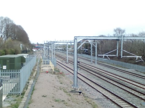


 Until I retired in April 2010 (aged 61) I had been quite active in the previous decade, playing badminton twice a week, and swimming at the weekends. As you can imagine playing badminton was quite strenuous in the heat and humidity (>30ºC/>80%RH) of Los Baños in the Philippines (where I worked for 19 years at the International Rice Research Institute). However, when Steph and returned to the UK, to our home in Bromsgrove in northeast Worcestershire (about 13 miles south of Birmingham city center), I needed to find some other form of exercise.